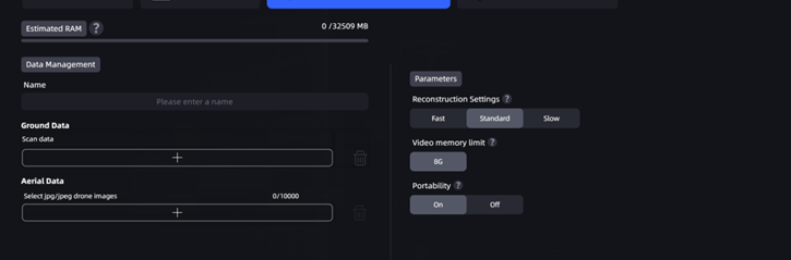
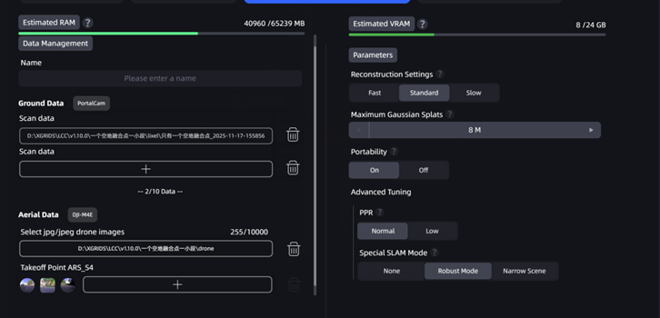
Aerial-Ground Fusion
Aerial-Ground Fusion supports fusion processing of aerial images captured by a drone and ground capture data, enabling integrated multi-view, multi-scale modeling. With this feature, the application can more comprehensively restore the spatial structure and details of large, complex models, significantly improving 3D model completeness and realism.
Workflow
Upload Ground Capture Data and Aerial Capture Data
- Ground Data: Upload data files captured by L- , K- and P-series devices. The interface will display the corresponding device type.
- Aerial Data: Select the folder that contains drone-captured images. When selecting a folder, note the following:
- The folder must contain more than 100 and fewer than 10,000 images.
- Only JPG and JPEG image formats are supported.
- Image resolution must be higher than 1024×768, and every image must have the same resolution.
- For P1 devices, at the corresponding aerial-ground fusion point, upload the aerial photos and the photo folder for the takeoff and landing point. (If an aerial-ground fusion point was not marked at the drone takeoff and landing point during capture, directly uploading aerial photos may reduce aerial-ground fusion quality or cause reconstruction to fail.)
Note:
- A maximum of 10 ground-data segments are supported, and their combined duration must not exceed 200 min.
- The number of drone photos must not exceed 10,000.
Drone RTK Data Toggle
v2.2.0 adds a drone RTK data toggle that controls whether RTK data recorded by the drone is used during reconstruction.
- On (default): The system uses the drone's RTK data in reconstruction.
- Off: The system completely ignores the drone's RTK data during reconstruction.
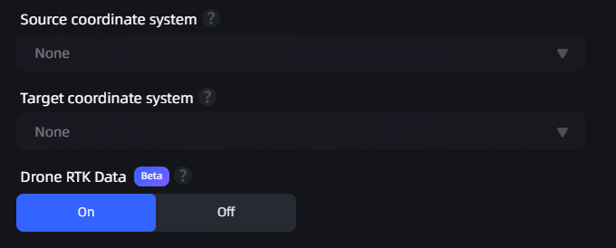
Coordinate conversion toggle (ground data / drone data)
Recommended Combinations
The following combinations can lower hardware requirements and are recommended:
| Ground Data | Drone Data | Description |
|---|---|---|
| L-series RTK | Drone RTK | Recommended; highest accuracy |
| P-series aerial-ground fusion control points | Drone RTK | Recommended |
| P-series aerial-ground fusion control points | Drone without RTK | Recommended; lowers the drone hardware requirement and allows use of consumer drones |
Not Recommended Combinations
The following combination may cause reconstruction to fail or cause layer separation in the model. Avoid using it:
| Ground Data | Drone Data | Risk |
|---|---|---|
| L-series RTK | Drone without RTK | ⚠️ Reconstruction may fail or layer separation may occur |
Usage Recommendations
- P-series devices: You can reconstruct without drone RTK (turn off the drone RTK data toggle). Good results can be achieved when used with aerial-ground fusion control points.
- L-series devices: We still recommend reconstructing with ground RTK + drone RTK (turn on the drone RTK data toggle) to improve reconstruction success rates.
Enter the Model Name and Set Model Parameters
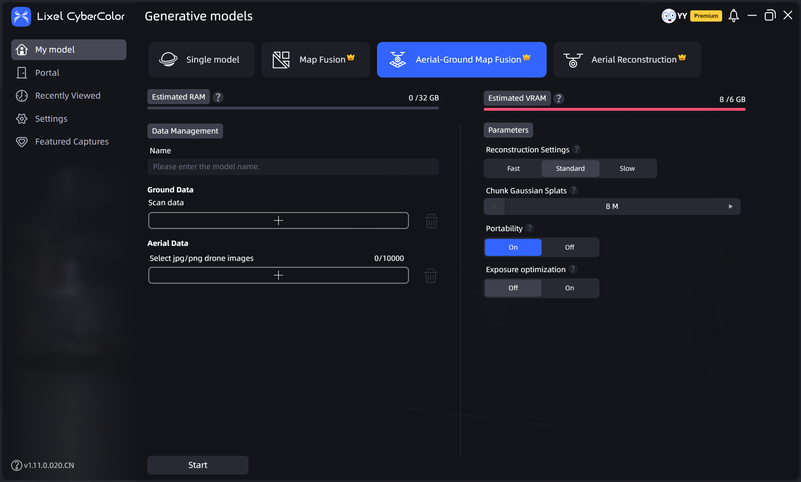
Aerial-ground fusion